
Esri Malaysia has awarded seven organisations the Esri GeoInnovation Awards for their innovative approaches to help their communities be more resilient in the face of the pandemic and more importantly, embrace the “new normal”.
The winners were selected on the merits of how they used geospatial technology to address real-world challenges of which, there were no traditional solutions.
Among the seven winners is Tenaga Nasional Berhad (TNB), which used Geographic Information System (GIS) technology to map and visualise the electrical assets with required information using a geo-intelligence platform that assists in planning and operation works for ensuring electric supply in order; where TNB is responsible for providing safe and reliable supply in an environmentally sustainable manner.
In addition, TNB employed the technology to enable the electric company’s crisis response team and all essential units to ensure a dependable power supply for inhabitants in all EMCO and quarantine station areas.
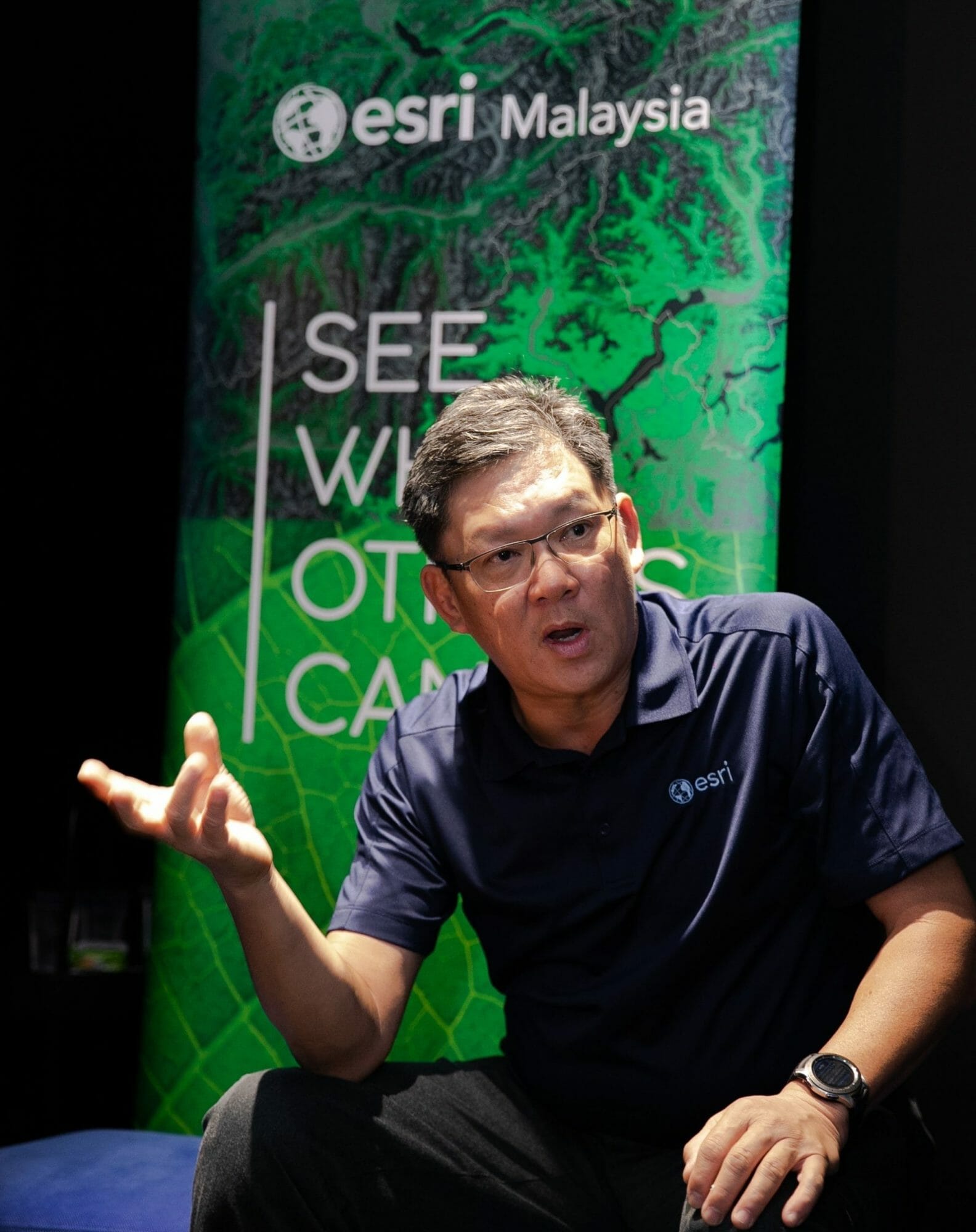
Esri Malaysia Chief Executive Officer, CS Tan said, “Looking back at history, periods of adversity have always birthed major innovation milestones. This includes a technological legacy of advancements that include space travel, satellites, computers, and as well as more commonplace items such as tea bags and sneakers. Our generation’s situation with the Covid-19 pandemic is no different.”
The other winners of Esri GeoInnovation Awards included Syarikat Air Melaka Berhad (SAMB) for its Web-based GIS which provided the staff with a spatial view on their network pipelines and water assets in Melaka.
Among GeoInnovation 2020 winners are:
Syarikat Air Melaka Berhad (SAMB)- Web based GIS
National Hydrographic Centre (PHN) – MyMarine GeoHub
Tenaga Nasional Berhad (TNB) – GIS Distribution Network Project
Health Informatics Centre (HIC) – Ministry of Health of Malaysia –Malaysian Health Data Warehouse (MyHDW)
Defence Geospatial Division (BGSP) Department of Survey and Mapping Malaysia (JUPEM) – Defence Hub
Department of Irrigation and Drainage Malaysia (DID) – Leveraging the GIS Technology
SWCorp – WEGIS.
“We would like to congratulate all our winners for their well-deserved recognition and for demonstrating resilience and inspiring us to GeoInnovate during such challenging times,” Tan added.


