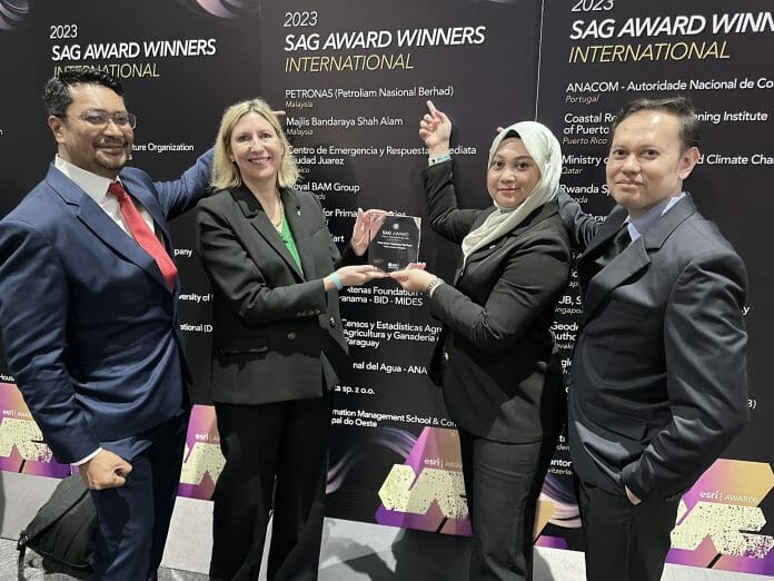
PETRONAS and Majlis Bandaraya Shah Alam (MBSA) have represented the best of Malaysian ingenuity on the global stage by receiving a prestigious Special Achievement in GIS (SAG) Award, at the international Esri User Conference, held in San Diego (USA) and attended by more than 100,000 delegates from around the world.
MBSA’s nomination came off the back of the city council’s launch of a new monitoring dashboard system, designed to record data and boost workplace efficiency.
To achieve this, the council fitted the dashboard with an interactive map within which MBSA officers record, engage and provide insights into assessment taxes, the sum of collected assessment taxes, the different categories of assessment taxes and their status.
The dashboard also effectively displays map layers of the various buildings and land-uses within the city of Shah Alam. More than 100 staff across various departments can access the dashboard.
As a result, MBSA staff can efficiently address customer queries and monitor the status and condition of issues licenses across Shah Alam.
“We currently manage over RM300 million in tax collection from over 275,000 account holders and it is vital that we satisfy the residents of Shah Alam by demonstrating that we are working as efficiently and effectively as possible. By utilising smart technologies like GIS (Geospatial Information System), we are able to demonstrate excellence in public administration and provide the growing Shah Alam community with better online services,” said TPr. Nurul Sheema Abdul Rahman, Deputy Director of Planning at MBSA and project lead of the dashboard system.
PETRONAS was nominated for digitally transforming common exploration activities by embedding smart mapping technology at the heart of the highly complex operation.
The petroleum giant, who is no stranger to being recognised globally for their progressive thinking, developed the Explore on the Go (EOTG) portal which enables Exploration Geoscientists to study and prospect dynamically.
EOTG is a centralised GIS-based visualisation platform for a series of workflows that enables data integration to be shared and made accessible across the technical and management teams.
Previously, data was only available across separate applications. As a result of this integration, EOTG enables display and interpretation of information – boosting business processing and allowing easy access from mobile and web applications.
The inventive application of GIS technology – to centrally capture the company’s critical business data, for analysis and prediction of risk, uncertainty, and economic potential – was viewed as having potential far beyond the petroleum sector.
Esri Malaysia CEO, CS Tan said, “Across the Asia Pacific region, Malaysia has established itself as a hub for geospatial technology innovation. Now, with the achievements of groups such as MBSA and PETRONAS being recognised on the global stage, the ingenuity of this country’s spatial community can be more broadly celebrated.”


