



By Dr. Azizi Abu Bakar and Affan Nasaruddin
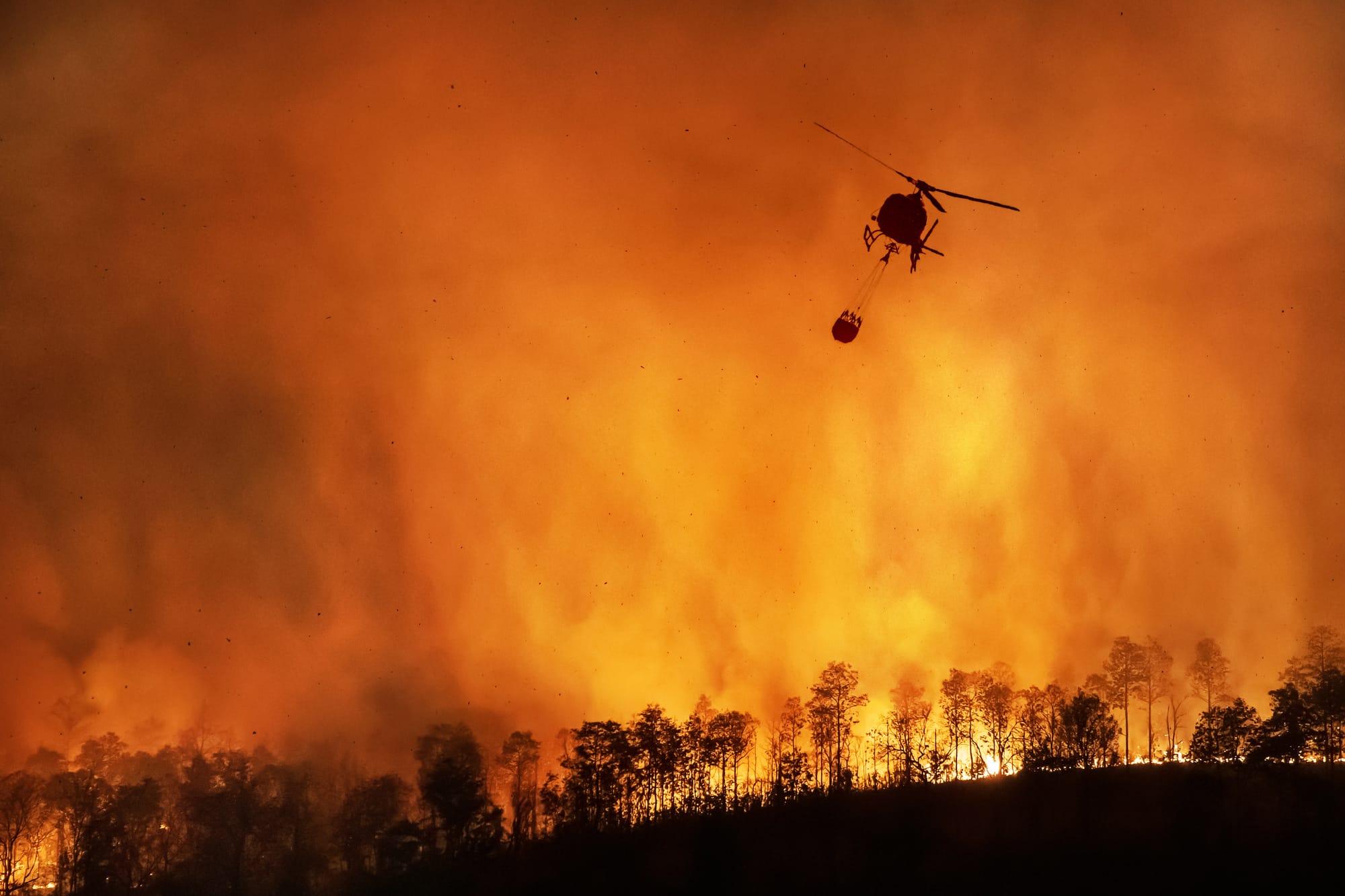
A wildfire that began in Bromo Tengger Semeru National Park in East Java on 3 August has burned about 550 hectares, most of it the savanna grassland that gives the caldera its character. It started at under eight hectares and ran past 500 over the weekend, driven by shifting winds across the Tengger caldera ring road. Indonesia closed the park entirely on the night of 8 August and deployed helicopters, fire engines and water-dropping drones against dry grass and slopes too steep for ground crews.
The main fire was declared out on Sunday, and fresh hotspots appeared near the caldera the same day. It is tempting to read this as somebody else’s emergency. It is not. Bromo is a neighbour in the same climate system and the same dry season, and every ingredient exists here: peat soils in Selangor, Johor, Pahang and Sarawak that smoulder below the surface, and reserves and recreation parks with heavy visitor traffic and light supervision at the trailheads. Neither Bromo fire was started by El Niño. Drought will potentially removes the margin for error, so that a carelessness that would have fizzled in a wet year runs for a week across sixty hectares.
The coverage has been about closed gates and disrupted tourists. That is the smaller loss. The larger one is ecological, and nobody can put a figure on it, because the record of what lived on those slopes beforehand is thin. We will know how many hectares burned. We will not know how many species did, and in one of our own reserves next month we would be no better placed.
This is the gap that citizen science is built to close. A funded expedition covers a defined area for a defined season, produces a report, and ends. Fires do not respect that schedule. What is needed is a standing record, dense in space and continuous in time, and that is what ordinary people with smartphones produce. Photographs uploaded to open platforms such as iNaturalist carry a date, a location and an image others can verify. The City Nature Challenge in the Klang Valley, run by Universiti Malaya with community partners, logged more than 800 species in one four-day weekend in 2024.
Such a record matters most after a site has burned. Fire on a forest edge or a peat soil destroys the seed bank, kills ground-nesting fauna, and strips the epiphytes, ferns and orchids that hold much of the diversity. Regrowth then misleads the eye: green cover returns within a season, but it is often *lalang* and invasives holding the ground for decades. Only a species list, taken before and after, shows that a forest has been replaced by something poorer.
The timing is not comfortable. An El Niño has been in force since June and is expected to strengthen into early 2027. The response machinery is in position: a preparedness directive from the Fire and Rescue Department, 83 high-risk locations under joint monitoring with the Department of Environment, and seven-day fire risk forecasts through the Fire Danger Rating System. Open burning cases of two hectares or more had already affected close to 6,000 hectares by early June, against roughly 1,862 hectares for all of last year.
MetMalaysia director-general Dr Mohd Hisham Mohd Anip has put a figure on it. Malaysian temperatures have climbed about 0.19 degrees Celsius a decade since the 1980s, and a strong El Niño can add up to 0.7 degrees on top. On skin that is nothing. But the increment does not spread itself evenly across the year. It lands on the hottest hours of the hottest days, which is how a country that recorded 40.1 degrees at Chuping in 1998 gets a real chance of beating that mark. And what a person shrugs off, a landscape accumulates. We can step into the shade at noon. Leaf litter and peat cannot, and they spend every one of those afternoons getting drier.
All of that is fire response, and it is good. None of it is biodiversity accounting. The system detects ignition, suppresses flame and protects air quality. It is silent on what the fire consumed and whether it came back. A burnt reserve is closed, reopened, and returned to the map as though restored.
Malaysia does not lack policy here. It lacks a join between two policies it already has. The National Science, Technology and Innovation Policy 2021-2030 lists the enculturation of science, technology and innovation among its strategic thrusts, but that thrust has been read as outreach: exhibitions, competitions and awareness campaigns, with the public cast as an audience to be informed. The National Policy on Biological Diversity 2016-2025 opened with stakeholder empowerment as its first goal and ended its term last year, with a successor aligned to the Kunming-Montreal Global Biodiversity Framework now in preparation. Both point at the same idea from opposite directions, and neither reaches the point where a member of the public generates evidence a ministry will use.
That is where the innovation lies, and it is a modest one. Treat the public as a producer of science rather than an audience for it, and write that into the successor biodiversity policy as an operational commitment: an accredited protocol for community records, a named custodian agency, and recognition of curated community data as admissible evidence in environmental impact assessment and land use decisions. This works only if the data is open and properly stewarded, meaning findable, accessible, interoperable and reusable, the standard known as FAIR. That means persistent identifiers, clear licences, documented methods, and deposit in repositories connected to the Malaysia Biodiversity Information System and to global infrastructure. Stewardship is the difference between a citizen science project and a citizen science system.
Two steps follow. Survey before the burn: the 83 monitored hotspots and the reserves beside them are a ready-made sampling frame, and community bioblitzes ahead of each dry season would cost little to attach to a risk map that already exists. Then monitor the recovery at fixed points, at six, twelve and twenty-four months, which is what decides whether a reserve needs active restoration. Residents should also be treated as sensors rather than volunteers, since communities beside our peat soils smell smouldering ground long before a satellite registers it.
The familiar objection is data quality. Open platforms curate through community identification, and a record confirmed by several independent identifiers is research grade. The evidence is not weaker for being crowdsourced. It is cheaper.
Bromo will reopen, and its savannah will either recover or it will not. Without records, nobody will be able to say which. Malaysia faces eighteen months of hotter, drier weather with a fire response system that is ready and a biodiversity ledger that is not. The successor biodiversity policy is being drafted this year, and whether community evidence appears in it as encouragement or as an operational requirement is a choice being made now.
—
Azizi Abu Bakar is a research officer at the Universiti Malaya Sustainable Development Centre and a data steward for Universiti Malaya Open Science, while Affan Nasaruddin is also a research officer at the centre and serves on the UKM–YSD Chair for Sustainability Scientific Advisory Committee.